 Asset Publisher
The State Forests National Forest Holding
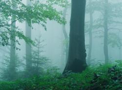
 fot. Paweł Fabijański
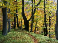
 fot. Paweł Fabijański
 fot. Paweł Fabijański
The State Forests National Forest Holding is the largest organisation in the European Union managing forests, which belong to the State Treasury and celebrating its 90 anniversary this year.
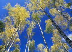
Presently, we manage the area of one third of Poland's territory. Not long after the end of the Second World War, there was only 21 % of the area. Every year we plant 500 million of new trees, as we want Polish forests grow all the time.
Every year Polish foresters plant 500 million of trees.
85 % of nature reserves in Poland are located within the State Forests. 40 % of the forests managed by General Directorate of the State Forests are protected within the framework of European network Natura 2000. We fight against many threats: natural disasters, plaques of insects, trees' diseases, fires, pollutions, as well as poaching and vandalism.
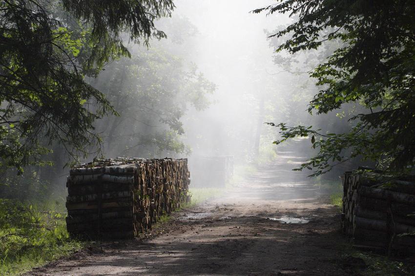
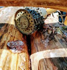
We take care the forestry supplying the market with timber, as ecological and universal material, to be carried on in accordance with rules of balanced development (photography P.Fabjański).
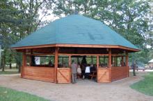
One of our major tasks is making forests accessible to the society. We invite you to take advantage of these beautifully located within the forest wilderness holiday resorts, forester's lodges or guest rooms. That is for you, we create thousand kilometres of hiking trails, cycling paths or camping sites. All the above mentioned, you can find in service www.czaswlas.pl.
We also take care the forestry supplying the market with timber, as ecological and universal material, to be carried on in accordance with rules of balanced development. We obtain over 30 million of cubic meters of wood annually, twice as much as at the beginning of the nineties of the XX century.
Despite of this, the average of wood abundance per hectare of our forests is one fourth bigger than 20 years ago and 40% bigger than the average of European Union currently amounts.
In Poland in sectors connected with the forestry, there work about 375 thousand of people. It means that each 40 working Pole works in the forest.
In Poland in sectors connected with the forestry, there work about 375 thousand of people. It means that each 40 working Pole works in the forest. The sector of wood processing works out approximately 8 % of our GDP (Gross Domestic Product). Among others, thanks to the timber from the State Forests Poland is the 10 largest producer of furniture in the world, and the 4 largest furniture exporter.
The State Forests employ 25 thousand people. That way we are the 9 biggest employer in Poland. Among the largest companies in our country it takes 22 place in respect of its incomes and 11 place in respect of its profits. The value of assets, we manage, reaches 300 million zl. If we add social values, it will be worth one billion zlotych. We do not use money from the budget, but we earn money on our own to support the business. In spite of the financial crisis, since 2002, we continuously note down profits. Moreover, we pay taxes amounting 1,3 billion zl annually.
87 % of Poles think, the foresters are competent. We willingly share our knowledge of Polish forests, of their history and of nature values with the others. We publish books, periodicals, brochures; we also administer the website www.lasy.gov.pl . For children, the youth and teachers, we prepared internet service "E-lynx' Lynx Forest" (www.erys.pl). Our staff has supported schools in field of nature education for years. We also organise many actions to let people broaden their knowledge about forest, nature and ecology.
Asset Publisher
Mapy lasów teraz zawsze pod ręką
Mapy lasów teraz zawsze pod ręką
 Fot. Shutterstock.com

Teraz wybierzesz się łatwiej na wycieczkę do lasu.
Na zlecenie Lasów Państwowych została przygotowana aplikacja umożliwiająca dostęp do map lasów. Aplikacja mBDL (mobilny Bank Danych o Lasach) już można pobrać na telefony i tablety z systemem Android.
Podstawową zawartością aplikacji są leśne mapy tematyczne np. mapa podstawowa, drzewostanowa, form własności, siedlisk leśnych, zbiorowisk roślinnych oraz mapa łowiecka.
Poza mapami branżowymi, użytkownik ma możliwość wyświetlenia np. mapy topograficznej lub ortofotomapy lotniczej/satelitarnej, a także map z zewnętrznych serwisów WMS.
Adresy najpopularniejszych serwisów, np. dane o charakterze katastralnym, ortofotomapa czy serwis GDOŚ, są zapisane w aplikacji na stałe, co ułatwia ich wykorzystanie. Inne, dowolne serwisy WMS można podłączyć wpisując konkretny adres URL, który jest następnie zapamiętywany w aplikacji.
Po wcześniejszym pobraniu odpowiednich danych, aplikacja działa również offline.
Mechanizm pobierania danych do pracy offline umożliwia korzystanie z map nadleśnictw oraz parków narodowych. Razem z mapami, które zapisywane są w postaci rastrowej, dla lasów LP pobierane są dane wektorowe z atrybutami opisowymi.
Z poziomu aplikacji mBDL użytkownik ma dostęp w trybie online do pełnego opisu taksacyjnego dla lasów wszystkich form własności. Opis taki zawiera m.in. gatunki drzew i krzewów występujące w danym miejscu, ich szczegółowy opis, adres leśny, wskazania gospodarcze i wiele innych informacji.
Aplikacja wyposażona jest dodatkowo w szereg przydatnych w terenie funkcjonalności: zapis punktu z lokalizacji GPS lub ze wskazania na mapie, zapis trasy oraz prostą nawigację do wskazanego punktu. Zapisane punkty i trasy można wyeksportować w postaci pliku KML, przesłać na inne urządzenie lub zaimportować na inne urządzenie, na którym też jest zainstalowana aplikacja mBDL.
W mBDL można wyszukać wydzielenia leśne na podstawie tzw. adresu leśnego. W menu Pomoc dostępna jest również instrukcja opisująca podstawowe funkcjonalności, z którą warto się zapoznać na początku użytkowania aplikacji.
Zapraszamy do korzystania z naszej instrukcji obsługi mBDL przygotowanej do poszukiwania miejsc bushcraftowych czyli OBSZARÓW PILOTAŻOWYCH BUSHCRAFT-SURVIVAL, poniższą instrukcję można wykorzystać do określania miejsc postojowych, ścieżek edukacyjnych w kaliskich lasach i nie tylko.
Aplikacja została przygotowana przez Biuro Urządzania Lasu i Geodezji Leśnej.